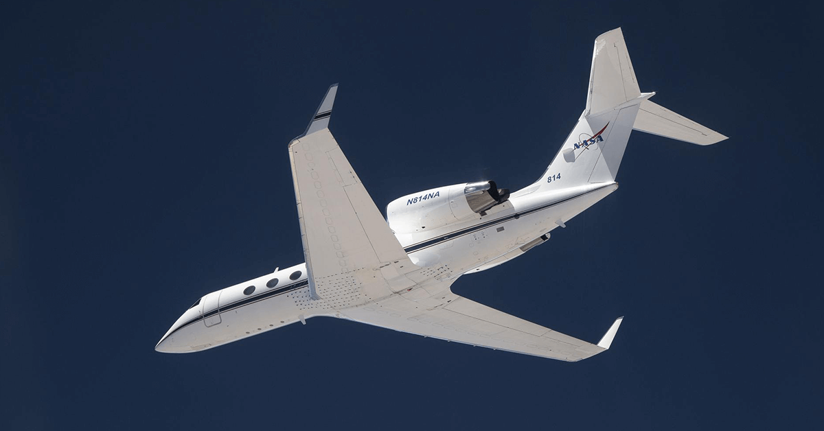
NASA recently flew its Gulfstream-IV, or G-IV, aircraft for the first flight test of a new aircraft guidance system designed to lessen Earth science studies’ operating costs. Called Soxnav, the system is geared to help pilots maintain precise aircraft course at flight speeds of up to 500 miles per hour, NASA said.
Soxnav’s design provides pilots with 3D automated steering used for a precise landing approach in poor visibility. The system’s technical baseline as a compact, automated guidance was drawn from previous aircraft navigation models.
NASA’s Jet Propulsion Laboratory in Southern California and the Bay Area Environmental Research Institute in California’s Silicon Valley collaborated on Soxnav’s development.
Table of Contents
Precise Altitude for Radar Efficiency
Joe Piotrowski, G-IV operations engineer, said Soxnav will enable pilots to maintain the exact flight altitude for the data collection missions of the aircraft through its Next Generation Airborne Synthetic Aperture Radar, or AirSAR-NG.
“With the data that can be collected from science flights equipped with the Soxnav instrument, NASA can provide the general public with better support for natural disasters, tracking of food and water supplies, as well as general Earth data about how the environment is changing,” the agency’s engineer said.
Soxnav Use Eyed in Other NASA Aircraft
According to NASA, Soxnav can provide G-IV the capability for collecting broader, more accurate and less costly scientific information, with the optimized AirSAR-NG observations. The agency plans to expand the system’s use to its other aircraft types to support missions for their current and future sensors.
NASA’s Gulfstream aircraft-based studies include a partnership with the U.S. Geological Survey initiated in October 2022 for a five-year, $16 million research project that will use airborne hyperspectral imaging technology to map critical minerals and study their impact on climate change.


