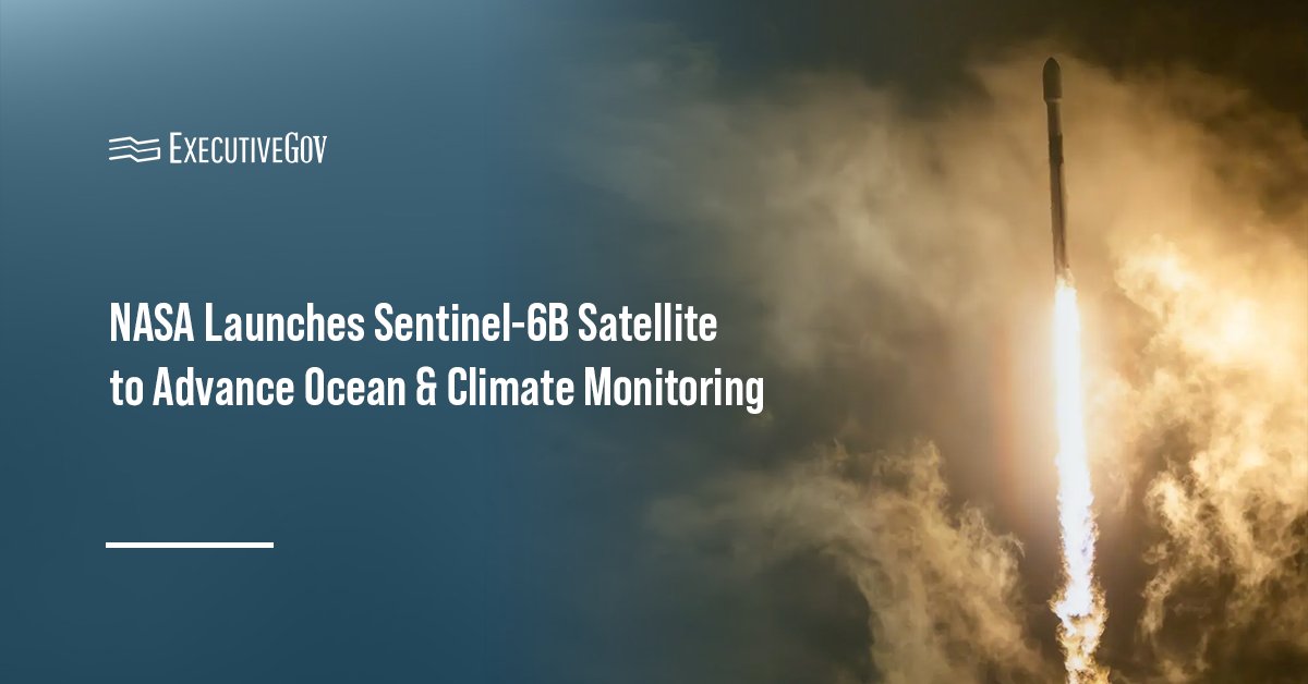
NASA and its international partners launched the Sentinel-6B satellite aboard a SpaceX Falcon 9 rocket from Vandenberg Space Force Base on Nov. 16.
The agency said Monday the satellite, now in low Earth orbit, will collect ocean and atmospheric data to support hurricane forecasting, coastal infrastructure protection, climate monitoring and maritime operations.
Table of Contents
What Is the Sentinel-6B Satellite?
Sentinel-6B is a satellite designed to measure sea surface height, wind speed, wave height and atmospheric conditions. These observations will enhance flood prediction models and aid in identifying ocean temperature patterns that influence storm development and shipping safety. The data will be leveraged to safeguard critical coastal assets, including infrastructure, real estate and energy storage sites.
NASA collaborated with the European Space Agency, European Organisation for the Exploitation of Meteorological Satellites and the National Oceanic and Atmospheric Administration to develop the Sentinel-6B. The satellite is part of the European Union’s family of Copernicus missions.
How Will Sentinel-6B Take Over From Sentinel-6 Michael Freilich?
The new satellite, part of the Copernicus Sentinel-6/Jason-CS mission, will replace Sentinel-6 Michael Freilich as the reference standard for global sea level data. First, Sentinel-6B will fly 30 seconds behind its twin to verify that their instruments provide the same data. Once verified, the Michael Freilich satellite will transition to a different orbit, and Sentinel-6B will assume its new role as the official reference satellite, flying 830 miles above the Earth’s surface 13 times a day.


